 |
| Click me, ye explorer! |
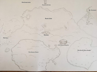
I am particularly satisfied with how Mt. Snowpeak and Rusty Lake turned out. I'll have to practice making an icon of a classical Greek-styled temple for the Library of Omnibus. The rest is an okay start.
Still left to consider are the paths that adventurers can traverse in the Marches. The whole seems rather "this forest goes here, these mountains go here"-cobbled together. And it is. I would like my maps to have a bit more intelligence to them.
Deze reactie is verwijderd door een blogbeheerder.
BeantwoordenVerwijderen